Infos :
Pictures :
Site Links :
Help of Travel :
|
Karibib
Travel guide of Karibib in Namibia
I. Karibib travel guide
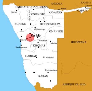
Location of the town of Karibib
|
Karibib is located on the River Khan is a town of 3800 inhabitants halfway between Swakopmund (177 km) and Windhoek (184 km) .
It is located on the B2 in the Erongo region.
|
Karibib is best known for the use of his basement, the Navachab gold mine is managed since 1989 by the CDM (Diamont Consolidated Mines) .
A marble quarry is also present, it operates more than 1,000 tons of marble a year.
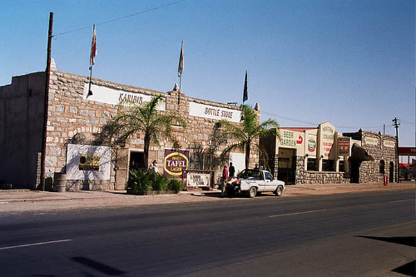
The city has lodges and other accommodations, schools, two petrol stations, two banks, two supermarkets and a bakery and also a stadium, USAB Stade .
Karibib is connected to the Namibian ferrviaire the TransNamib.
It is located at the junction between the lines Windhoek - Swakopmund and Tsumeb branch to join and Grootfontein.
II.Information on other towns in Namibia
Source : 2011
|
|
|
|
|
|
|