Namibia Arroukatchee Southern Africa

Infos :

Namibia
South Africa
Botswana
Zimbabwe

Pictures :

Namibia
South Africa
Botswana
Victoria Falls

Site Links :

Travel Journal
Videos
Forum
GuestBook

Help of Travel :

Car Rentals
Plane Tickets
Your holidays
Hotels
Currency Converter


otavi


Facts
Maps
Money
Accommodation
Transportation
Formalities
Health-Safety
Climate-Geo
People-Towns
History
National Park
Fauna
Links

Otavi

Travel guide of Otavi in Namibia


Town of
Otavi
Map Tourist Attraction Car Rental Flight
Plane tickets
Campsite
Rest Camp
Hotel
Lodge
Weather
Climate


I. Otavi travel guide


otavi location
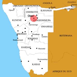
Location of the town of Otavi
otavi

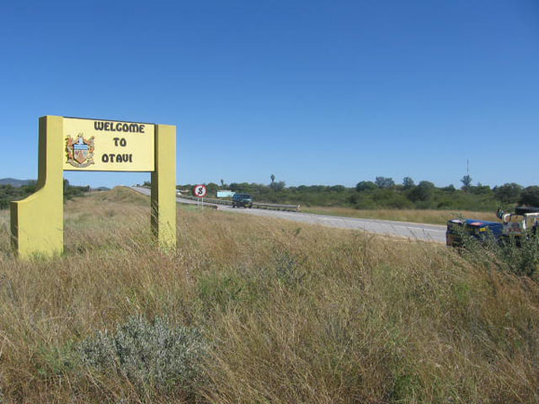
Otavi is a small town in Namibia, located in the region between Grootfontein and Otjiwarongo Otjozondjupa.
It is on the road B1, the most important route linking the north of Namibia to the south of the country.
Otavi has about 4000 inhabitants and was known for its mineral resources including copper, now almost completely exhausted.

With Tsumeb and Grootfontein, Otavi is part of the golden rod, the distance of about 60km from each other, this region is central to the culture of Mahangu (Pearl millet) .

The town of Otavi has two gas stations where you can refuel, two grocery stores and two banks.

Otavi has a station at which the Trans-Namib Railway there is a stop on the line Windhoek - Oshakati.
Otavi is by road from Windhoek to 3:30 (B1) .


II.Information on other towns in Namibia

Arandis
Aranos
Aus
Bagani
Gobabis
Grootfontein
Henties Bay
Kamanjab
Karasburg
Karibib
Katima Mulilo
Keetmanshoop
Khorixas
Khowarib
Kongola
Luderitz
Maltahohe
Mariental
Okahandja
Omaruru
Ondangwa
Opuwo
Oshakati
Oshikango
Otavi
Otjiwarongo
Outapi
Outjo
Purros
Rehoboth
Ruacana
Rundu
Swakopmund
Tsumeb
Uis
Usakos
Walvis Bay
Windhoek


Source : 2011


Partners
Sitemap